Barndominium Builders in Alexandria, VA
Alexandria is one of Virginia's 38 independent cities, which means it belongs to no county at all: there is no county building department above it and no county zoning reaching in, and Fairfax and Arlington have no authority inside the city line. It is also the densest incorporated place in Virginia, 160,662 people on 14.9 square miles, so dense that USDA does not report it as a farming unit at all. Nobody is putting a barndominium here. What this page is for is the land 40 to 80 miles west, and the three things about Alexandria that follow you out there: a Chesapeake Bay programme covering every square foot of the city, a mandatory soil report, and a design criteria sheet that is the city's own and nobody else's.
Alexandria at a glance
- Independent city
- Alexandria
- Population
- 160,662
- ZIP codes
- 22301, 22302, 22304, 22305, 22311, 22312, 22314
- Site visits
- Site visits west of the Beltway, where the land is
Building conditions in Alexandria
The building code itself is the same in every Virginia locality, and no county, city or town may amend it. What changes from one to the next is who issues the permit and inspects the work, what that office charges, how the parcel is zoned, and the Table R301.2 design criteria the locality publishes — the 2021 Virginia Residential Code prints that table blank, with the instruction that additional criteria shall be established by the local jurisdiction. Those local numbers are what your drawings have to satisfy.
City of Alexandria Permit Center Fee Schedule, City Council Resolution 3287, effective 1 July 2025; Census Vintage 2025 and 2024 Gazetteer county files at www2.census.gov, where Alexandria appears as a county-level record, GEOID 51510
Census Vintage 2025 population and 2024 Gazetteer land area; 2022 Census of Agriculture (USDA NASS) county reference file
City of Alexandria Zoning Ordinance Article III, Residential Zones, sections 3-100, 3-200, 3-300, 3-400 and 3-500
Va. Code section 62.1-44.15:68; City of Alexandria Zoning Ordinance Article XIII, Environmental Management Ordinance, section 13-105(A) and (C)
City of Alexandria Department of Code Administration, Residential Design Criteria sheet for the 2021 code, and the city's 2022 Design Criteria sheet
City of Alexandria Permit Center Fee Schedule, City Council Resolution 3287, effective 1 July 2025
Also worth knowing before you build in Alexandria
- The city wants a sealed soil report before it issues the permit
- City policy PP 2012-13, dated 1 January 2013, says that prior to permit issuance new dwellings shall have a soil suitability report signed and sealed by a Commonwealth of Virginia licensed design professional, with site exploration bore logs detailing USCS soil classification and physical properties and flagging any problems found, expansive marine clay soils named first among them. The report must recommend foundation designs and, where problem soils turn up, remediation, and the design professional or their agent must inspect the in-situ foundation soil before placement. That is a citywide geotechnical requirement for every new house and it is unusual in Virginia.
- The protection area buffer, and the date that decides a lot
- Inside the Preservation Area the resource protection area includes a 100 foot buffer measured from top of bank, running along both sides of any water body with perennial flow, so a stream crossing a parcel carries a 200 foot corridor. The ordinance says the full buffer stays designated notwithstanding any permitted use, encroachment or vegetation clearing. A new dwelling is not a permitted use in a protection area, and the only administrative ways in turn on whether the lot was recorded before 1 October 1989 or between then and 1 March 2002. Neither reaches into the seaward 50 feet of the buffer. The recordation date of the lot decides the question.
- Where the land actually is, and how far
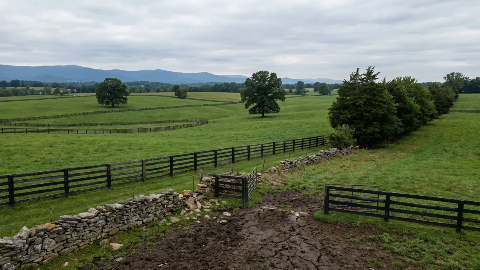
- Roughly 40 to 50 miles west: Loudoun's western half around Purcellville, Round Hill and Lovettsville, which holds 981 farms under 50 acres, the most in Virginia, at a median farm size of 21 acres, the smallest in the state, so parcels genuinely change hands; and Fauquier around Warrenton, Marshall and The Plains, 188,562 acres in farms and 45.5 percent of the county, fourth in Virginia by absolute farm acreage. Around 65 miles: Rappahannock at 39.2 percent in farms with the tightest rural zoning of the five, and Culpeper at 47.7 percent and growing 9.3 percent. Around 80 miles: Madison at 48.5 percent, the highest share of the five, against the national park boundary.
- The Bay Act stops at a county line, not at the water
- None of Loudoun, Fauquier, Culpeper, Rappahannock or Madison appears on the statutory Tidewater Virginia list, so none of them carries the Bay Act's unconditional 100 percent reserve drainfield that may not be built on, nor its 2,500 square foot land disturbance trigger, which the regulation says expressly includes single family houses, septic tanks and drainfields. Prince William, Fairfax, Stafford, Spotsylvania and Caroline are all on the list. Inside the programme a parcel has to physically fit the house, the shop, the well and its radius, the primary drainfield and a second drainfield of equal size kept permanently clear of structures.
- There is no EPA radon zone for any Virginia city
- The EPA Map of Radon Zones county table contains 95 Virginia rows and every one of them ends in County. No independent city appears, so there is no table value for Alexandria at all, only the map graphic, which shades the city as Zone 3 beside Zone 2 Arlington. That matters because Virginia Residential Code R331.1 lets a locality enforce the radon appendix only in Zone 1, which nothing in this part of the state is except Fairfax County. Virginia's own measured results for 2016 to 2024 put Alexandria at an average 1.8 pCi/L across 477 tests, a voluntary sample rather than a census.
- What the Permit Center wants to see
- Residential submittals under the Virginia Residential Code go through APEX, the city's permit and land use management system, and must carry complete architectural and mechanical, electrical and plumbing drawings, building energy envelope load calculations, and documentation of compliance with the Virginia Energy Conservation Code, along with the proposed design criteria and loads. Plan review is included in the permit fee, but revisions or amendments provided after a permit is approved are $50 per trade discipline, and if the revision changes the estimated cost of construction the permit fee is recalculated as well.
City of Alexandria Department of Code Administration Policy PP # 2012-13, Soil Evaluation, 1 & 2 Family Dwelling Construction, 1 January 2013
City of Alexandria Zoning Ordinance sections 13-105(B) and 13-107; 9VAC25-830-80 and 9VAC25-830-140
2022 Census of Agriculture (USDA NASS) county table: acres in farms, percent of land in farms, median farm size and farms under 50 acres
Va. Code section 62.1-44.15:68; 9VAC25-830-130, general performance criteria, subdivisions 3, 5 and 7
EPA Map of Radon Zones county table, radon_zones-spreadsheet.xls; VRC 2021 section R331.1 via 13VAC5-63-210; Virginia Department of Health radon testing results, updated 23 September 2025
City of Alexandria Plan Review Services Division, New Residential Plan Submittal Requirements; Permit Center Fee Schedule effective 1 July 2025

The expensive surprises are in the ground, not the building
What moves a Virginia budget is usually below grade, and it is soil rather than rock. Five localities already treat a soil answer as a condition of the permit rather than a recommendation — Fauquier, Chesterfield, Isle of Wight, Madison and Culpeper each require a soil report, an engineered foundation design, or both before the footings are approved. Chesterfield asks for one on every new house with no opt-out, on its own published reasoning that small amounts of shrink-swell soil may turn up anywhere in the county. Virginia Energy puts the same point bluntly: standard homeowner's insurance does not cover damage from expansive or compressive soils. Along the Interstate 81 corridor the question changes shape entirely — Virginia Energy counts twenty-seven Virginia counties in the karst zone that follows that road, where what matters is what is under the slab rather than what the slab sits in, and karst does not stay west of the Blue Ridge: Loudoun County publishes karst terrain of its own, on the other side of it. The same ground then sizes the septic system, because 12VAC5-610 works from bedrooms and soil texture — 150 gallons a day per bedroom, with no row in the table for a shop, a garage or a barn at all, and clay assigned to the slowest texture group at 91 minutes per inch or worse, past the 45 minutes per inch that makes a reserve drainfield mandatory. The soil that needs a foundation engineer multiplies the drainfield. So the site work, the foundation and the drainfield get resolved together rather than one at a time. We price the dirt before we price the building.
What we build in Alexandria
All nine services are available in Alexandria. What a build costs depends far more on the parcel than on square footage, so we price against your land rather than publishing a rate card.
Custom Plans
Barndominium floor plans drawn to your parcel and to the design criteria your own Virginia locality publishes, not to a generic national spec.
Barndominium Kits
Engineered barndominium shell packages delivered to your Virginia land, drawn to the criteria your own building department fills in.
Turnkey Builds
Start to finish barndominium construction: permits, site work, shell and full interior finish, under one contract and one schedule.
What a build looks like
Three stages every Alexandria project passes through, from a raw parcel to a finished home. Site work first, because that is where the budget is decided.

The parcel
Zoning, setbacks, flood zone and utility access get checked before anything is drawn.
Pad and permit
Clearing, grading and a compacted pad, while the submittal works through whichever office issues the permit where you are building.

Frame to finish
Shell erected and dried in, then systems, insulation and interior finish through to CO.
Those are the rules where you are building in Alexandria. Tell us what you want to build and we will draw it to them.
Where we build around Alexandria
Alexandria and the rural land around it. The buildable acreage for a project this size usually sits outside the city limits, which is frequently what changes who issues your permit.
Keep reading
The questions that usually come next once you know what Alexandria allows.
Barndominium Cost Guide
Sourced per-square-foot ranges by tier and by size, with a calculator built on the same figures.
Read itIs It Legal in Virginia?
Classification, zoning, the HOA gate, and why "nonresidential farm building" does not cover a home.
Read itHow Long Does It Take?
Census build-duration data, and what actually sets the permit clock where you are building.
Read itNearby areas we build in
Others we cover nearby. One may be a county, another an independent city that belongs to no county at all, and another a town inside a county — so the office that issues the permit, the fees it charges, the zoning and the design criteria each locality publishes can all differ from one card to the next.
Building in Alexandria: common questions
7 questions we get asked most often about building in Alexandria. If yours is not on the list, ask it directly.
Can I build a barndominium in Alexandria?
Then where do I actually buy land, and how far out is it?
Who issues the permit, Alexandria or Fairfax County?
Why is Alexandria in a Chesapeake Bay programme when it is nowhere near the Bay?
What design numbers does Alexandria publish, and can I use a neighbouring jurisdiction's?
Will the city want a soil report?
Is there anything about building here that follows me out to the country?
Building in Alexandria?
Start with the plan. Tell us what you want to build and we will draw it, then confirm which office issues the permit for your parcel, what it will let you put there, and what wind load it has to meet. That conversation costs nothing.