Barndominium Builders in Arlington County, VA
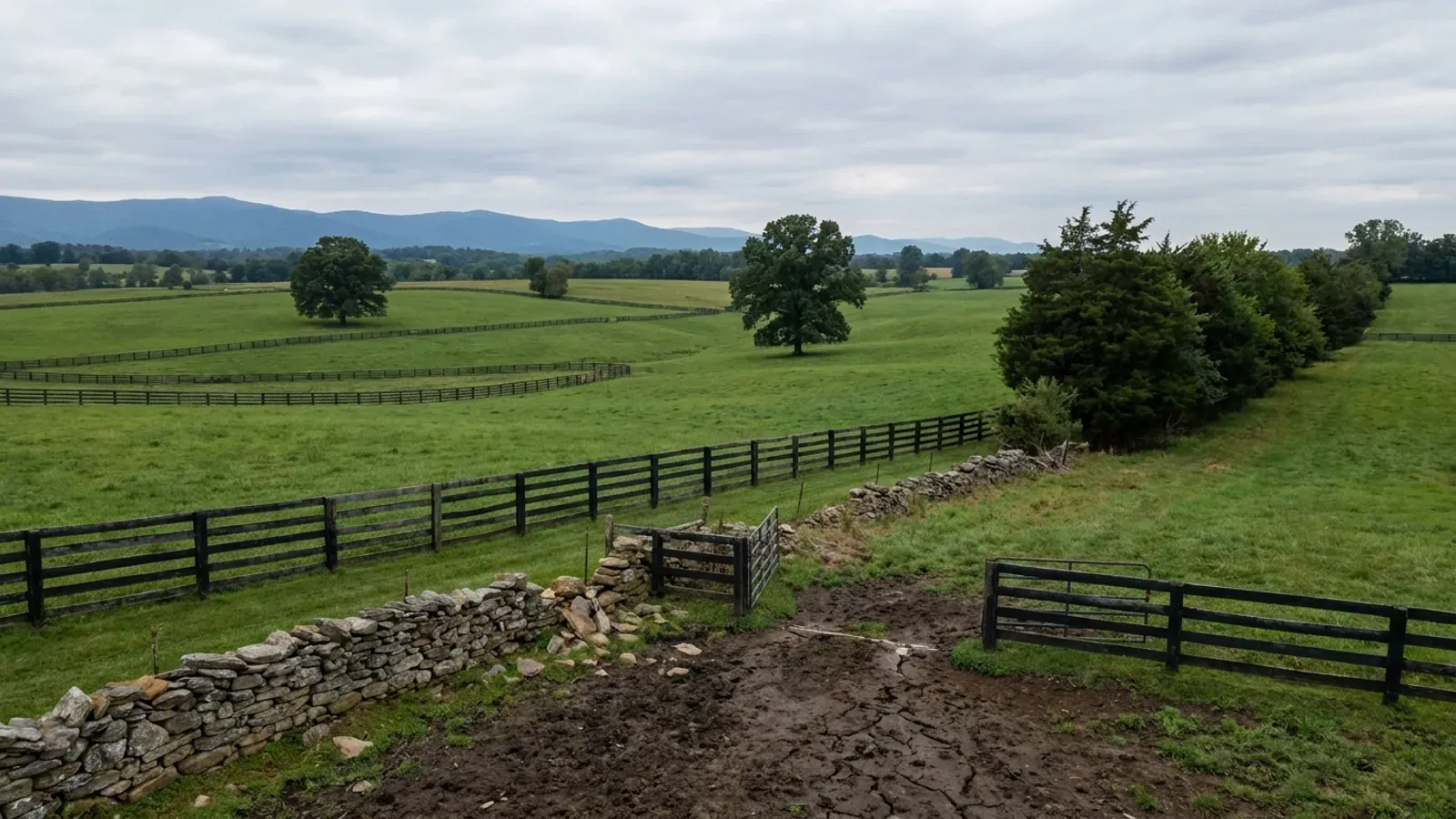
Arlington is 243,931 people on 26 square miles with no incorporated place anywhere inside it, which makes the county itself the building official and explains why Arlington never appears on a list of Virginia cities over 100,000. It is also the least agricultural county unit in Virginia: three farms on three acres in the 2022 Census of Agriculture, 98th out of 98. Nobody is putting a barndominium here, and the zoning ordinance does not even contain an agricultural district to try it in. What this page is for is the land 40 to 80 miles west, and the four things about Arlington that follow you out there.
Arlington County at a glance
- County
- Arlington County
- Population
- 243,931
- ZIP codes
- 22201, 22202, 22203, 22204, 22205, 22206, 22207, 22209, 22213
- Site visits
- Site visits west of the Beltway, where the land is
Building conditions in Arlington County
The building code itself is the same in every Virginia locality, and no county, city or town may amend it. What changes from one to the next is who issues the permit and inspects the work, what that office charges, how the parcel is zoned, and the Table R301.2 design criteria the locality publishes — the 2021 Virginia Residential Code prints that table blank, with the instruction that additional criteria shall be established by the local jurisdiction. Those local numbers are what your drawings have to satisfy.
Arlington County CPHD Inspection Services Division FY27 Fee Schedule, effective 1 July 2026 (arlingtonva.us, fy27-isd-fee-schedule.pdf); Census Vintage 2025 and the 2024 Gazetteer county file at www2.census.gov
2022 Census of Agriculture (USDA NASS), county table, AGG_LEVEL_DESC=COUNTY, DOMAIN_DESC=TOTAL, series FARM OPERATIONS - ACRES OPERATED
Arlington County Zoning Ordinance effective 14 March 2026, sections 1.7.1 and 5.2 through 5.7
Va. Code section 62.1-44.15:68; Arlington County Code Chapter 61, Chesapeake Bay Preservation Ordinance, section 61-5.B.2 (Ord. No. 03-1, 8 February 2003); 9VAC25-830-130
Arlington County Climatic and Geographic Design Criteria, January 2024 (arlingtonva.us, climatic-and-geographic-design-criteria-jan-2024.pdf)
Arlington County CPHD Inspection Services Division Fee Schedule, effective 1 July 2026
Also worth knowing before you build in Arlington County
- The buffer that grows uphill
- Inside the Preservation Area the resource protection area is a 100 foot buffer running along both sides of any water body with perennial flow, so a stream crossing a parcel carries a 200 foot corridor. Arlington then expands it to take in contiguous slopes of 25 percent or more at the landward edge, lets the County Board designate contiguous 15 percent slopes as well, and counts channelised streams shown on the most recent storm sewer layer of the county GIS. A new dwelling is not permitted in a protection area; the administrative ways in turn on whether the lot was recorded before 1 October 1989 or between then and 1 March 2002, and neither reaches into the seaward 50 feet of the buffer.
- Arlington is not allowed to require radon-resistant construction
- Virginia Residential Code R331.1 lets a locality enforce Appendix AF only after official action taken under the zoning article of Title 15.2, and only in areas of high radon potential as indicated by Zone 1 on the EPA Map of Radon Zones. Arlington is EPA Zone 2, so it is not eligible to adopt the provisions at all, whatever it might prefer. Fairfax is the only Zone 1 locality in Northern Virginia; Loudoun, Prince William, Fauquier and Culpeper are Zone 2 alongside Arlington. Virginia's own measured results for 2016 to 2024 put Arlington at an average 2.4 pCi/L across 1,322 tests.
- Arlington maintains its own roads
- VDOT's own districts page states that Arlington and Henrico counties maintain their own roads, as do cities and many towns. Arlington is one of only two Virginia counties whose secondary roads are not state maintained, and that changes who you deal with for the ground in front of the house: a driveway apron or curb cut is an Arlington County Transportation Right-of-Way permit from DES Permitting and Inspections, in the excavation category alongside sidewalks, curbs and gutters and utility service connections. Anywhere else in rural Virginia the same work is a VDOT land use permit.
- The accessory building rule is what stops the shop
- Even on the rare Arlington lot with room, the ordinance is explicit: no accessory building of two or more storeys, or taller than 25 feet, may occupy any part of a required rear yard, and such a building must stand at least 10 feet from any lot line and 15 feet from any wall of the main building. The easier by-right placement path is available only under 25 feet or one and a half storeys, and only under a 560 square foot footprint in R-5 and R-6 or 650 square feet in any other district. A working shop bay passes 650 square feet before the doors are hung.
- Where the land actually is, and how far
- Roughly 40 to 50 miles west: Loudoun's western half around Purcellville, Round Hill and Lovettsville, which holds 981 farms under 50 acres, the most in Virginia, at a median farm size of 21 acres, the smallest in the state, so parcels genuinely change hands; and Fauquier around Warrenton, Marshall and The Plains, 188,562 acres in farms and 45.5 percent of the county, fourth in Virginia by absolute farm acreage. Around 65 miles: Rappahannock at 39.2 percent in farms with the tightest rural zoning of the five, and Culpeper at 47.7 percent and growing 9.3 percent. Around 80 miles: Madison at 48.5 percent, the highest share of the five, against the national park boundary.
- The Bay Act stops at a county line, not at the water
- None of Loudoun, Fauquier, Culpeper, Rappahannock or Madison appears on the statutory Tidewater Virginia list, so none of them carries the Bay Act's unconditional 100 percent reserve drainfield that may not be built on. Prince William, immediately south-west of Arlington, is on the list, as are Fairfax, Stafford, Spotsylvania and Caroline. Inside the programme a new build has to physically fit the house, the shop, the well and its radius, the primary drainfield and a second drainfield of equal size kept permanently clear of structures. Crossing the right county line changes how much usable acreage the same house needs.
Arlington County Code sections 61-5, 61-7 and 61-8; 9VAC25-830-80 and 9VAC25-830-140
VRC 2021 section R331.1 via 13VAC5-63-210; EPA Map of Radon Zones county table, radon_zones-spreadsheet.xls; Virginia Department of Health radon testing results, updated 23 September 2025
Virginia Department of Transportation, districts page at vdot.virginia.gov/about/districts; Arlington County Transportation Right-of-Way permit page
Arlington County Zoning Ordinance section 3.1.6, effective 14 March 2026
2022 Census of Agriculture (USDA NASS) county table: acres in farms, percent of land in farms, median farm size and farms under 50 acres
Va. Code section 62.1-44.15:68; 9VAC25-830-130, general performance criteria, subdivisions 3, 5 and 7

The expensive surprises are in the ground, not the building
What moves a Virginia budget is usually below grade, and it is soil rather than rock. Five localities already treat a soil answer as a condition of the permit rather than a recommendation — Fauquier, Chesterfield, Isle of Wight, Madison and Culpeper each require a soil report, an engineered foundation design, or both before the footings are approved. Chesterfield asks for one on every new house with no opt-out, on its own published reasoning that small amounts of shrink-swell soil may turn up anywhere in the county. Virginia Energy puts the same point bluntly: standard homeowner's insurance does not cover damage from expansive or compressive soils. Along the Interstate 81 corridor the question changes shape entirely — Virginia Energy counts twenty-seven Virginia counties in the karst zone that follows that road, where what matters is what is under the slab rather than what the slab sits in, and karst does not stay west of the Blue Ridge: Loudoun County publishes karst terrain of its own, on the other side of it. The same ground then sizes the septic system, because 12VAC5-610 works from bedrooms and soil texture — 150 gallons a day per bedroom, with no row in the table for a shop, a garage or a barn at all, and clay assigned to the slowest texture group at 91 minutes per inch or worse, past the 45 minutes per inch that makes a reserve drainfield mandatory. The soil that needs a foundation engineer multiplies the drainfield. So the site work, the foundation and the drainfield get resolved together rather than one at a time. We price the dirt before we price the building.
What we build in Arlington County
All nine services are available in Arlington County. What a build costs depends far more on the parcel than on square footage, so we price against your land rather than publishing a rate card.
Custom Plans
Barndominium floor plans drawn to your parcel and to the design criteria your own Virginia locality publishes, not to a generic national spec.
Barndominium Kits
Engineered barndominium shell packages delivered to your Virginia land, drawn to the criteria your own building department fills in.
Turnkey Builds
Start to finish barndominium construction: permits, site work, shell and full interior finish, under one contract and one schedule.
What a build looks like
Three stages every Arlington County project passes through, from a raw parcel to a finished home. Site work first, because that is where the budget is decided.

The parcel
Zoning, setbacks, flood zone and utility access get checked before anything is drawn.
Pad and permit
Clearing, grading and a compacted pad, while the submittal works through whichever office issues the permit where you are building.

Frame to finish
Shell erected and dried in, then systems, insulation and interior finish through to CO.
Those are the rules where you are building in Arlington County. Tell us what you want to build and we will draw it to them.
Where we build around Arlington County
Arlington County and the rural land around it. The buildable acreage for a project this size usually sits outside the city limits, which is frequently what changes who issues your permit.
Keep reading
The questions that usually come next once you know what Arlington County allows.
Barndominium Cost Guide
Sourced per-square-foot ranges by tier and by size, with a calculator built on the same figures.
Read itIs It Legal in Virginia?
Classification, zoning, the HOA gate, and why "nonresidential farm building" does not cover a home.
Read itHow Long Does It Take?
Census build-duration data, and what actually sets the permit clock where you are building.
Read itNearby areas we build in
Others we cover nearby. One may be a county, another an independent city that belongs to no county at all, and another a town inside a county — so the office that issues the permit, the fees it charges, the zoning and the design criteria each locality publishes can all differ from one card to the next.
Building in Arlington County: common questions
7 questions we get asked most often about building in Arlington County. If yours is not on the list, ask it directly.
Can I build a barndominium in Arlington County?
Then where do I actually buy land, and how far out is it?
Why is Arlington in a Chesapeake Bay programme when it is nowhere near the Bay?
What design numbers does Arlington actually publish?
Does Arlington require radon-resistant construction?
Who permits the driveway, the county or VDOT?
Is there anything about building here that follows me out to the country?
Building in Arlington County?
Start with the plan. Tell us what you want to build and we will draw it, then confirm which office issues the permit for your parcel, what it will let you put there, and what wind load it has to meet. That conversation costs nothing.