Barndominium Builders in Manassas, VA
Manassas is one of Virginia's 38 independent cities, which means it belongs to no county at all: there is no county building department above it, no county zoning reaching in, and Prince William County has no authority inside the city line even though it wraps the city on every side. It is 44,332 people on 9.8 square miles, and its own 2045 Comprehensive Plan, adopted in October 2025, counts 61 additional homes across the whole of its suburban and traditional neighbourhoods, in both the low and the high scenario. Twelve per cent of the city is zoned Airport, and inside the airport's noise contours a dwelling is not a permitted use at any level of soundproofing. So this page is mostly about the land 40 to 80 miles out, and about three things that are true of Manassas and of nowhere else: a permit fee under half what its neighbours charge, a soils report required on anything over 750 square feet, and a city that publishes no design criteria table of its own.
Manassas at a glance
- Independent city
- Manassas
- Population
- 44,332
- ZIP codes
- 20108, 20110
- Site visits
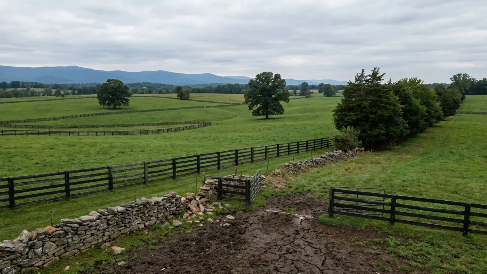
- Site visits west and south, where the buildable land actually is
Building conditions in Manassas
The building code itself is the same in every Virginia locality, and no county, city or town may amend it. What changes from one to the next is who issues the permit and inspects the work, what that office charges, how the parcel is zoned, and the Table R301.2 design criteria the locality publishes — the 2021 Virginia Residential Code prints that table blank, with the instruction that additional criteria shall be established by the local jurisdiction. Those local numbers are what your drawings have to satisfy.
City of Manassas Code of Ordinances Ch. 26, Buildings and Building Regulations, Art. II, Permits and Fees, codified through Ord. No. O-2025-933 adopted 28 July 2025 (Supp. No. 24); Manassas and Manassas Park hold separate Municode client records, 3147 and 3148; 2024 Census Gazetteer place file for Virginia, GEOIDs 5148952 and 5148968
Manassas 2045 Comprehensive Plan, adopted 27 October 2025, Appendix B2 Demographics & Development, Table B2 Build-Out Analysis, p. 161
City of Manassas Building Plan Review page, Applicable Regulations; City of Manassas New Residential Building Minimum Plan Submittal Requirements checklist; Fairfax County Codes and Standards page; Prince William County Ground Snow Load policy effective 16 December 2024
City of Manassas Building Permit Application, revised 24 June 2024, fee schedule at p. 2; City of Manassas Code Ch. 26 Art. II; City of Alexandria Permit Center Fee Schedule, Council Resolution 3287, effective 1 July 2025; Arlington County CPHD Inspection Services Division Fee Schedule, effective 1 July 2026
Va. Code section 62.1-44.15:68, definition of Tidewater Virginia, as served; 9VAC25-830-130 general performance criteria
City of Manassas Zoning Ordinance, Code of Ordinances Ch. 130, section 130-57, Accessory structures (Ord. No. O-2015-15; O-2018-02; O-2024-03)
Also worth knowing before you build in Manassas
- There is an agricultural district inside the city, and it takes an acre
- An independent city at 4,504 people per square mile still keeps an A-1 agricultural district on its books. Section 130-261 sets a minimum lot area of one acre for a single-family detached dwelling unit and ten acres for all other uses, 100 feet of width at the front setback on an interior lot, front setback 35 feet, side 20 feet, rear 30 feet for a principal structure, and a 35 foot height limit with an exception for architectural features not designed for human occupancy such as spires, steeples and silos, which may reach 60 feet. Its purpose clause describes detached single-family homes at a rural suburban density of approximately one dwelling unit per acre. That one acre is the largest minimum lot in the city and it is more than any residential zone Alexandria has, where the biggest, R-20, is 20,000 square feet.
- Twelve per cent of the city is airport, and it says no to houses
- The 2045 Comprehensive Plan's land use approximation by zoning gives Residential 47 per cent, Industrial 17, Airport 12, Commercial 8, Mixed 2 and public right-of-way 14. The Airport Impact Overlay District then establishes three noise impact areas from the Airport Day-Night Average Sound Level Map, above 75 dBA DNL, 70 to 75 and 65 to 70, and its Noise Compatibility Land Use Table answers NO for residential use, including manufactured homes, in all three of them. Residential is the only row in that table that is NO across the board; every other use is either permitted or permitted with a stated noise level reduction. Where a contour line falls on the proposed location of a principal structure, the lesser of the two standards applies. Separately, the city must consult the FAA or the Department of Aviation before issuing a permit in the airport protection area unless the work is interior or under 90 feet and outside the protection, runway protection and approach surfaces.
- A soils report over 750 square feet, which is every barndominium
- The city's New Residential Building Minimum Plan Submittal Requirements checklist lists, among the supporting documents required before plan review, a geotechnical report for anything greater than 750 square feet or more than one story. The Building Plan Review page says the same from the other direction: new buildings and additions must submit two copies of the site utility plan or house location survey, a completed special inspections form, a copy of the geotechnical soils report, and structural calculations by the structural designer. A shop-house of any normal size clears 750 square feet several times over, so a soils report is a permit condition in Manassas rather than a lender's preference, and it is worth budgeting at the start rather than discovering at submittal.
- The ground under the city is mapped as urban land
- A point query at the centre of Manassas against the USDA soil survey returns map unit 54B, Urban land-Udorthents complex, 0 to 7 per cent slopes, in survey area VA153. Udorthents are disturbed, human-transported material, and that map unit alone covers 13,477 acres of the survey area. The wider ground is Culpeper Basin, and it is measurably expansive: of the 228,900 acres in the survey area that contains the city, 31,388 acres, 13.7 per cent, carry a major soil component with a horizon at linear extensibility of 6 per cent or more. The expansive series present include Jackland at a maximum linear extensibility of 17, plus Waxpool, Haymarket, Montalto, Lunt and Dulles. One of the survey's largest map units, 8,085 acres of it, is a series named Manassas silt loam.
- R-5 means two opposite things here, and one of them is the cheap fee
- In the Manassas zoning ordinance, section 130-267, R-5 is the multifamily district. On the city's own building permit fee schedule, R-5 construction type means the building code's Group R-5, a Virginia-added occupancy class that covers detached one- and two-family dwellings and townhouses and is the class a barndominium falls into. So the schedule's cheapest line, single family homes, R-5 construction type only, at $0.45 per square foot, is labelled with the same two characters that mean apartments at the zoning counter across the hall. Both usages are correct in their own instrument. Read the fee schedule as a building code document and the zoning map as a zoning document, and check which one a quote was priced from.
- Nothing here requires radon-resistant construction, and nothing could
- Virginia Residential Code R331.1 needs two conditions before the radon appendix applies anywhere: an EPA Zone 1 area, and the locality having taken official action under Article 7 of Chapter 22 of Title 15.2, which is the zoning enabling article. Manassas has taken no such action; there is no radon provision anywhere in its zoning ordinance as codified through July 2025. And there is no EPA zone to satisfy the first condition with: the EPA Map of Radon Zones county table has 95 Virginia rows and every one ends in County, so no independent city has a table value at all. Prince William County, which surrounds the city, is Zone 2, and only Fairfax County is Zone 1 anywhere in Northern Virginia, which leaves every other locality here legally unable to adopt the appendix. The Health Department publishes measured results and its own list of known inaccuracies in the EPA map, so the sensible course is to test rather than to read a zone off a map.
- What the review desk actually does, and how long it takes
- The city publishes its plan review queue times: 2.5 weeks for new commercial and residential buildings, and 1.5 weeks for a new residential accessory structure or a residential addition or alteration. Plans go into the queue after the insertion fee is paid, a minimum of two complete assembled sets are required, the minimum sheet size is 18 by 24 inches, and drawings may be required to be signed and sealed by a Virginia licensed design professional or, if exempt, to carry the name, address and occupation of the designer. Virtual inspections are available for some inspections and third party building inspections are accepted from an approved list of inspectors. The city also runs Walk Through Wednesdays by appointment for limited scope work, including sheds under 256 square feet, decks and fences. A zoning verification or interpretation letter is $150 per parcel, in writing to the Zoning Administrator.
- Where the land is, and how far
- Around 45 to 55 miles west and south-west: Fauquier, around Warrenton, Marshall and The Plains, which is the Northern Virginia land answer at 188,562 acres in farms, 45.5 per cent of the county and fourth in Virginia by absolute farm acreage, median farm 50 acres, 507 operations under 50 acres. Around 55 to 60 miles: Culpeper at 115,816 acres and 47.7 per cent, growing 9.3 per cent, which makes shrink-swell a permit condition with a mandatory soils form in its residential packet and its own county shrink-swell map. Around 60 to 70 miles: Rappahannock at 66,894 acres and 39.2 per cent, quiet and tightly zoned, and Madison at 99,536 acres and 48.5 per cent, the highest share of the four, up against the national park. Prince William, the county you drive through first, has 20,388 acres in farms, 9.2 per cent of its land, and a median farm of 15 acres.
- Read Rappahannock's minimum lot size the naive way and you will be wrong
- Rappahannock County's rural districts carry a two acre minimum lot size, which reads like the loosest rule of the four counties this page routes to. It is the tightest. The same district table carries a separate maximum density row of one dwelling unit per 25 acres, set by Rappahannock County Code sections 170-22 and 170-38, and maximum density is calculated on the gross area of the lot. A minimum lot area and a maximum density are two different controls and the binding one is whichever bites first. This is the single most useful thing to know before making an offer in that county, and it is why a minimum lot figure quoted on its own is never the answer to how many houses a parcel will hold.
City of Manassas Zoning Ordinance, Code of Ordinances Ch. 130 Art. VIII Div. 2, sections 130-261 to 130-264; City of Alexandria Zoning Ordinance Article III
City of Manassas Zoning Ordinance Ch. 130 Art. VIII Div. 4 Subdiv. 2, Airport Impact Overlay District, sections 130-424 and 130-425 Table 1 (Ord. No. O-2016-19, effective 1 July 2016); Manassas 2045 Comprehensive Plan Appendix B2, p. 160
City of Manassas New Residential Building Minimum Plan Submittal Requirements checklist, Supporting Documents; City of Manassas Building Plan Review page, Related Documents
USDA NRCS Soil Data Access, survey area VA153, queried 2 September 2026: point intersection at 38.7509 N, 77.4753 W; mapunit acreage and chorizon representative linear extensibility for major components
City of Manassas Zoning Ordinance section 130-267; City of Manassas Building Permit Application fee schedule, revised 24 June 2024; Virginia Construction Code section 310.6 and 310.6.1 via 13VAC5-63-210, Group R-5
VRC 2021 section R331.1 via 13VAC5-63-210; City of Manassas Code of Ordinances Ch. 130, Zoning, searched in full, codified through Ord. No. O-2025-933 (Supp. No. 24); EPA Map of Radon Zones county table; Virginia Department of Health radon testing results and EPA radon risk map notes
City of Manassas Building Plan Review page, The Review Process; Building, Trade, and Occupancy Permits page; Development Applications, Forms & Fees page; Zoning Permits page
2022 Census of Agriculture (USDA NASS) county table: acres in farms, percent of land in farms, farms, median farm size and farms under 50 acres
Rappahannock County Code sections 170-22 and 170-38, maximum density; district table footnote, For maximum density, see sections 170-22 and 170-38

The expensive surprises are in the ground, not the building
What moves a Virginia budget is usually below grade, and it is soil rather than rock. Five localities already treat a soil answer as a condition of the permit rather than a recommendation — Fauquier, Chesterfield, Isle of Wight, Madison and Culpeper each require a soil report, an engineered foundation design, or both before the footings are approved. Chesterfield asks for one on every new house with no opt-out, on its own published reasoning that small amounts of shrink-swell soil may turn up anywhere in the county. Virginia Energy puts the same point bluntly: standard homeowner's insurance does not cover damage from expansive or compressive soils. Along the Interstate 81 corridor the question changes shape entirely — Virginia Energy counts twenty-seven Virginia counties in the karst zone that follows that road, where what matters is what is under the slab rather than what the slab sits in, and karst does not stay west of the Blue Ridge: Loudoun County publishes karst terrain of its own, on the other side of it. The same ground then sizes the septic system, because 12VAC5-610 works from bedrooms and soil texture — 150 gallons a day per bedroom, with no row in the table for a shop, a garage or a barn at all, and clay assigned to the slowest texture group at 91 minutes per inch or worse, past the 45 minutes per inch that makes a reserve drainfield mandatory. The soil that needs a foundation engineer multiplies the drainfield. So the site work, the foundation and the drainfield get resolved together rather than one at a time. We price the dirt before we price the building.
What we build in Manassas
All nine services are available in Manassas. What a build costs depends far more on the parcel than on square footage, so we price against your land rather than publishing a rate card.
Custom Plans
Barndominium floor plans drawn to your parcel and to the design criteria your own Virginia locality publishes, not to a generic national spec.
Barndominium Kits
Engineered barndominium shell packages delivered to your Virginia land, drawn to the criteria your own building department fills in.
Turnkey Builds
Start to finish barndominium construction: permits, site work, shell and full interior finish, under one contract and one schedule.
What a build looks like
Three stages every Manassas project passes through, from a raw parcel to a finished home. Site work first, because that is where the budget is decided.

The parcel
Zoning, setbacks, flood zone and utility access get checked before anything is drawn.
Pad and permit
Clearing, grading and a compacted pad, while the submittal works through whichever office issues the permit where you are building.

Frame to finish
Shell erected and dried in, then systems, insulation and interior finish through to CO.
Those are the rules where you are building in Manassas. Tell us what you want to build and we will draw it to them.
Where we build around Manassas
Manassas and the rural land around it. The buildable acreage for a project this size usually sits outside the city limits, which is frequently what changes who issues your permit.
Keep reading
The questions that usually come next once you know what Manassas allows.
Barndominium Cost Guide
Sourced per-square-foot ranges by tier and by size, with a calculator built on the same figures.
Read itIs It Legal in Virginia?
Classification, zoning, the HOA gate, and why "nonresidential farm building" does not cover a home.
Read itHow Long Does It Take?
Census build-duration data, and what actually sets the permit clock where you are building.
Read itNearby areas we build in
Others we cover nearby. One may be a county, another an independent city that belongs to no county at all, and another a town inside a county — so the office that issues the permit, the fees it charges, the zoning and the design criteria each locality publishes can all differ from one card to the next.
Building in Manassas: common questions
8 questions we get asked most often about building in Manassas. If yours is not on the list, ask it directly.
Can I build a barndominium in Manassas?
Who issues the permit, Manassas or Prince William County?
What design numbers does Manassas publish, and can I use Arlington's or Alexandria's?
What will the permit cost, and why is it so much less than Alexandria or Arlington?
Can I build a big shop and put living quarters in it?
Is Manassas in the Chesapeake Bay Preservation Act, like Prince William and Alexandria?
Then where do I actually buy land, and how far out is it?
Does anything about building in Manassas follow me out to the country?
Building in Manassas?
Start with the plan. Tell us what you want to build and we will draw it, then confirm which office issues the permit for your parcel, what it will let you put there, and what wind load it has to meet. That conversation costs nothing.