Barndominium Builders in Virginia Beach, VA
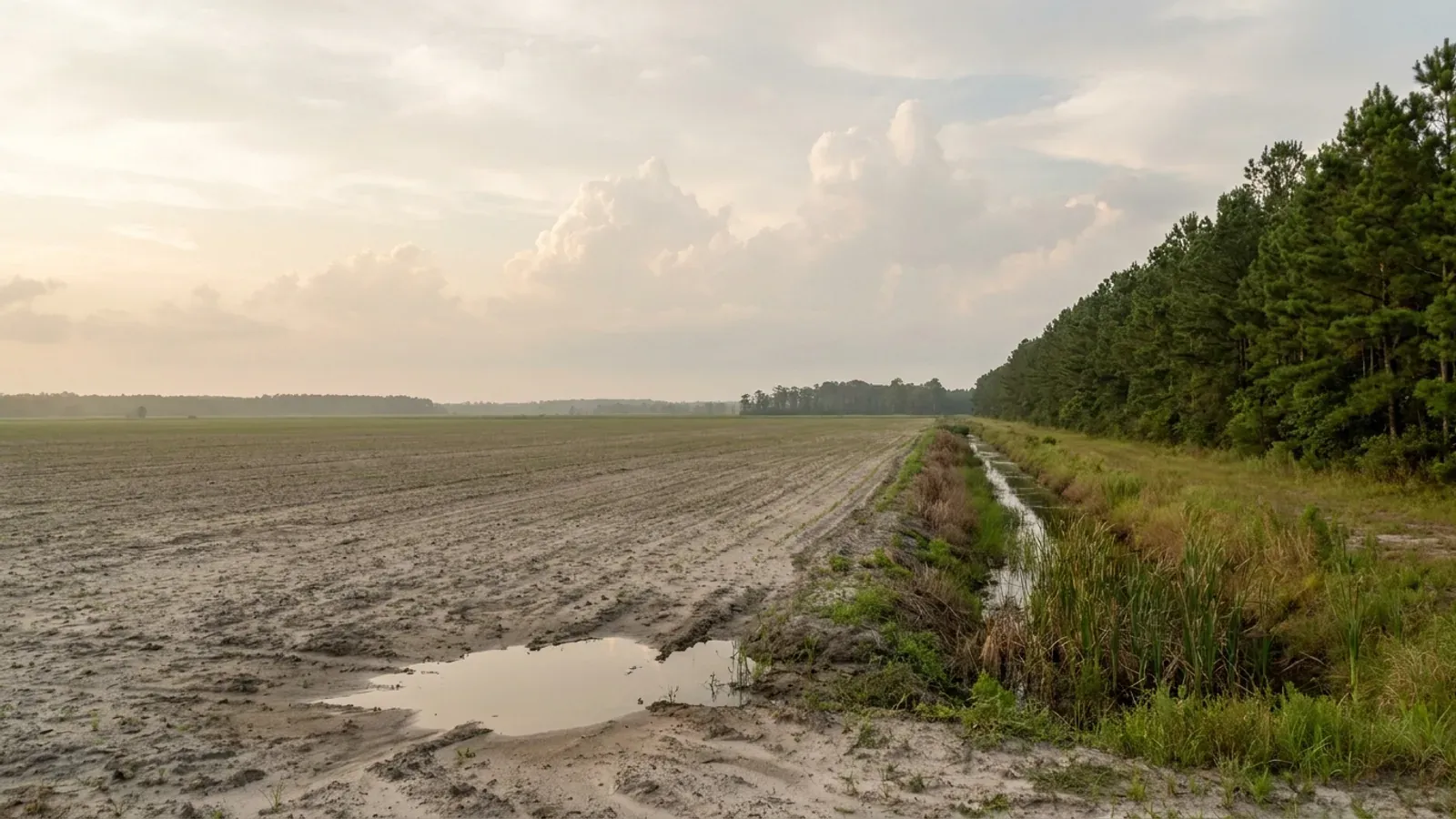
Virginia Beach is Virginia's largest place and one of its 38 independent cities, so it sits in no county at all: no county building department and no county zoning reach inside the city line, and the City's own Permits & Inspections division issues every permit under the City Zoning Ordinance. It is also the only place in Hampton Roads where a landowner can buy real acreage inside a 450,000-person city. The Green Line has held urban services out of the southern part of the city since 1979, and the Rural Context Area below the Rural Area Boundary covers 142 square miles of AG-1 and AG-2 farmland running down through Pungo, Blackwater and Creeds. What governs a build there is not the building code, which is identical statewide, but the water table, drainfield area, floodplain fill rules and a fifteen-acre density cap.
Virginia Beach at a glance
- Independent city
- Virginia Beach
- Population
- 453,737
- ZIP codes
- 23451, 23452, 23453, 23454, 23455, 23456, 23457, 23459, 23462, 23464
- Site visits
- Same-week site visits across the city, including Pungo, Blackwater, Creeds and Sandbridge
Building conditions in Virginia Beach
The building code itself is the same in every Virginia locality, and no county, city or town may amend it. What changes from one to the next is who issues the permit and inspects the work, what that office charges, how the parcel is zoned, and the Table R301.2 design criteria the locality publishes — the 2021 Virginia Residential Code prints that table blank, with the instruction that additional criteria shall be established by the local jurisdiction. Those local numbers are what your drawings have to satisfy.
City of Virginia Beach, imagineVB 2040 Comprehensive Plan, Ch. 1 (adopted April 2026) — planning.virginiabeach.gov/comp-plan
imagineVB 2040 Comprehensive Plan, Ch. 6 and Figure 6-2; USDA NASS 2022 Census of Agriculture, county-level file
Virginia Beach City Zoning Ordinance (City Code Appendix A), §§ 401(a), 402(a), 402(b)
Va. Code § 62.1-44.15:68; Virginia Beach City Code Appendix F § 104(A) (Appendix F amended in its entirety by Ord. No. 3825, 19 Aug 2025); Appendix G; imagineVB 2040 Comprehensive Plan, Ch. 2
Virginia Beach City Code Appendix G, Southern Rivers Watershed Management Ordinance, §§ 7(b), 7(c), 7(d)
City of Virginia Beach, Table R301.2(1) Climatic and Geographic Design Criteria — planning/Permits/Building/climate_geographic_design.pdf
Also worth knowing before you build in Virginia Beach
- No county above the city
- Virginia Beach is one of Virginia's 38 independent cities: a county equivalent that belongs to no county at all. There is no county building department with authority here, no county zoning ordinance reaching inside the city line, and no county tier to appeal to. Everything — permit, inspections, zoning, floodplain, wetlands, Chesapeake Bay Preservation Area review — is done by the City of Virginia Beach.
- A dwelling inside a livestock barn, by right
- The agricultural use chart contains a provision most Virginia localities do not have: "Dwelling units, not to exceed one (1), located within livestock barns" are a principal use in both AG-1 and AG-2. The occupancy limit is the catch — such a unit may be occupied only by farm employees or by people related to the owner of the property by blood, marriage, adoption or approved foster care. A shop with living quarters for the owner is an ordinary single-family dwelling and is permitted on its own terms.
- The conditional-use density route, and the 5.5-foot rule
- Section 405 lets City Council grant a conditional use permit for greater density than the fifteen-acre by-right figure: one dwelling per five acres on well or moderately well drained soil area #1, with a seasonal high water table from 1.5 feet below grade; one per ten acres on soil area #2, where the seasonal high water table runs from zero to 1.5 feet below grade. On soil area #2 land lying below 5.5 feet above mean sea level, "there shall be no development and no density credit shall be allowed." A certified soil scientist does the evaluation and the director of agriculture confirms the result.
- Wetland and floodplain acreage does not count
- Deed acreage and buildable acreage diverge sharply on a southern Virginia Beach parcel. Section 200(b) of the zoning ordinance excludes the floodway portion of any floodplain, open water, and wetlands from the calculation of allowable density and minimum lot area; § 200(c) also excludes floodplains subject to special restrictions under the Floodplain Ordinance. Section 200(a) does count special flood hazard areas and utility easements 20 feet or narrower.
- Floodplain subject to special restrictions — no fill
- Every special flood hazard area that ultimately drains to Back Bay or Currituck Sound is designated a "floodplain subject to special restrictions", defined by the ordinance as areas in the southern part of the city characterised by wind tides, low topography and poorly draining soils. Inside it, "no filling shall be permitted, including filling with material excavated from the same floodplain," except for named public roadway and public-works work. Elsewhere in the city a residential lowest floor must sit at the higher of two feet above base flood elevation or one foot above the 100-year hydraulic grade line at the nearest public drainage structure; in Coastal A and VE zones the lowest horizontal structural member goes three feet above base flood elevation on piles or columns.
- The Agricultural Reserve Program is voluntary
- Enacted 9 May 1995, the Agricultural Lands Preservation Ordinance says its purpose is preservation of farmland "by means which are voluntary, rather than regulatory". The city buys a perpetual easement over the development rights and pays for it on a 25-year installment purchase agreement funded by US Treasury STRIPS. The Fiscal Year 2025 report puts current enrolment at over 11,129 acres against an annual goal of 300. Where an easement is recorded, development is limited to agricultural use plus one single-family dwelling on each building site reserved for that purpose in the easement — and the easement is noted on the official zoning map within ten days of acquisition, so it is checkable before purchase.
- NAS Oceana reaches the rural south
- Inside the Interfacility Traffic Area, § 1806 of the zoning ordinance overrides both the by-right agricultural density and the conditional-use route and limits residential development to single-family dwellings at no greater than one dwelling per fifteen acres of developable land. In Accident Potential Zone 1, § 401(f) permits no use or structure on agricultural land unless Table 2 of § 1804 designates it compatible — and single-family dwellings are marked not compatible in APZ-1 and in the Clear Zone. Table 1 marks single-family dwellings not compatible in the 70–75 dB DNL and >75 dB DNL noise zones; § 1805 requires sound attenuation to Uniform Statewide Building Code standards from 65 dB DNL upward. The city records more than 30,000 acres inside the 70 dB DNL and louder zones.
- Heated and unheated area are priced differently
- The city's published residential schedule charges $50.00 plus $7.00 per 100 square feet for new heated living area, and $50.00 plus $4.00 per 100 square feet for new non-heated area — so a house-plus-shop building is assessed on two different rates rather than one. Add a $100 residential plan review fee, $75 for the certificate of occupancy, $75 for a re-inspection, a 2 percent state levy on the permit fees and a $10 technology fee. Beginning work without a permit carries a $250 administrative fee.
- One house, not a subdivision, is treated differently
- The Southern Rivers ordinance exempts a single-family dwelling built separately and not as part of a subdivision from its additional stormwater-quantity and design-storm standards, and the Southern Rivers Watershed Management Plan is only required where those standards apply. What still applies to a one-off house: the reserve drainfield, the fifty-foot wetland and shoreline prohibition, and erosion-and-sediment control on any land disturbance exceeding 2,500 square feet.
- Coastal Plain soils and a shallow water table
- Virginia Energy names "The Coastal Plain, the Shenandoah Valley, and the Mesozoic basins around Culpeper, Farmville, Danville, and Richmond" as the areas most likely to have expansive or frost-heave-susceptible soils, and adds that "the exact distribution can only be approximated from current soil maps, and field visits to specific areas are necessary to determine the actual extent of these hazards." It also notes that standard homeowner's insurance does not cover damage from expansive or compressive soils or frost heave. Virginia Beach's own zoning ordinance defines its rural soil areas by seasonal high water table depth, and the comprehensive plan states that most of the Rural Context Area is comprised of soils not suitable for major residential development, with rural residential development limited to areas capable of handling septic systems.
- Septic sizing, and why the shop does not count
- Virginia sizes an onsite sewage system on bedrooms alone — 150 gallons per day per bedroom, two people per bedroom at 75 gallons each — with no living-area band and no row for a shop, garage or barn anywhere in the table. A four-bedroom barndominium is 600 gallons per day whether the shop is 1,200 or 4,000 square feet. Soil is classified by texture rather than by a percolation pit, and clay falls in Texture Group IV at 91 minutes per inch or slower, past the point at which reserve area is triggered.
Va. Code § 15.2-102 (city and county powers); Va. Code § 36-105(A) (local building department shall enforce the USBC); City of Virginia Beach Permits & Inspections
Virginia Beach City Zoning Ordinance § 401(a)
Virginia Beach City Zoning Ordinance § 405(a)(1)–(3), (6), as amended by Ord. No. 3844, 21 Apr 2026
Virginia Beach City Zoning Ordinance § 200(a)–(c)
Virginia Beach City Code Appendix K, Floodplain Ordinance, §§ 4.3(A), 4.9, 4.10 (Ord. No. 3685, 1 Feb 2022)
Virginia Beach City Code Appendix J, §§ 2, 5, 10(e), 11(a), 11(b); City of Virginia Beach Agricultural Reserve Program, Fiscal Year 2025 Report
Virginia Beach City Zoning Ordinance §§ 401(f), 1802(c), 1803(a), 1804 Tables 1 and 2, 1805, 1806
City of Virginia Beach, Residential Building Permit Fees, rev. July 2025 — planning/Divisions-Offices/Permits_Inspections/Documents/Residential-Permit-Fees.pdf
Virginia Beach City Code Appendix G, §§ 6(a), 7(a), 7(b), 7(c), 7(e), 9(a); City Code §§ 30-56 to 30-78
Virginia Energy, Division of Geology and Mineral Resources, "Expansive Soils" — energy.virginia.gov/geology/ExpansiveSoils.shtml; Virginia Beach City Zoning Ordinance § 405(a)(1)–(2); imagineVB 2040 Comprehensive Plan, Ch. 6
12VAC5-610-670 Table 5.1; 12VAC5-610-490; 12VAC5-610-710

The expensive surprises are in the ground, not the building
What moves a Virginia budget is usually below grade, and it is soil rather than rock. Five localities already treat a soil answer as a condition of the permit rather than a recommendation — Fauquier, Chesterfield, Isle of Wight, Madison and Culpeper each require a soil report, an engineered foundation design, or both before the footings are approved. Chesterfield asks for one on every new house with no opt-out, on its own published reasoning that small amounts of shrink-swell soil may turn up anywhere in the county. Virginia Energy puts the same point bluntly: standard homeowner's insurance does not cover damage from expansive or compressive soils. Along the Interstate 81 corridor the question changes shape entirely — Virginia Energy counts twenty-seven Virginia counties in the karst zone that follows that road, where what matters is what is under the slab rather than what the slab sits in, and karst does not stay west of the Blue Ridge: Loudoun County publishes karst terrain of its own, on the other side of it. The same ground then sizes the septic system, because 12VAC5-610 works from bedrooms and soil texture — 150 gallons a day per bedroom, with no row in the table for a shop, a garage or a barn at all, and clay assigned to the slowest texture group at 91 minutes per inch or worse, past the 45 minutes per inch that makes a reserve drainfield mandatory. The soil that needs a foundation engineer multiplies the drainfield. So the site work, the foundation and the drainfield get resolved together rather than one at a time. We price the dirt before we price the building.
What we build in Virginia Beach
All nine services are available in Virginia Beach. What a build costs depends far more on the parcel than on square footage, so we price against your land rather than publishing a rate card.
Custom Plans
Barndominium floor plans drawn to your parcel and to the design criteria your own Virginia locality publishes, not to a generic national spec.
Barndominium Kits
Engineered barndominium shell packages delivered to your Virginia land, drawn to the criteria your own building department fills in.
Turnkey Builds
Start to finish barndominium construction: permits, site work, shell and full interior finish, under one contract and one schedule.
What a build looks like
Three stages every Virginia Beach project passes through, from a raw parcel to a finished home. Site work first, because that is where the budget is decided.

The parcel
Zoning, setbacks, flood zone and utility access get checked before anything is drawn.
Pad and permit
Clearing, grading and a compacted pad, while the submittal works through whichever office issues the permit where you are building.

Frame to finish
Shell erected and dried in, then systems, insulation and interior finish through to CO.
Those are the rules where you are building in Virginia Beach. Tell us what you want to build and we will draw it to them.
Where we build around Virginia Beach
Virginia Beach and the rural land around it. The buildable acreage for a project this size usually sits outside the city limits, which is frequently what changes who issues your permit.
Keep reading
The questions that usually come next once you know what Virginia Beach allows.
Barndominium Cost Guide
Sourced per-square-foot ranges by tier and by size, with a calculator built on the same figures.
Read itIs It Legal in Virginia?
Classification, zoning, the HOA gate, and why "nonresidential farm building" does not cover a home.
Read itHow Long Does It Take?
Census build-duration data, and what actually sets the permit clock where you are building.
Read itNearby areas we build in
Others we cover nearby. One may be a county, another an independent city that belongs to no county at all, and another a town inside a county — so the office that issues the permit, the fees it charges, the zoning and the design criteria each locality publishes can all differ from one card to the next.
Building in Virginia Beach: common questions
8 questions we get asked most often about building in Virginia Beach. If yours is not on the list, ask it directly.
Can you actually build a barndominium in southern Virginia Beach, or is the land locked up?
What does the Green Line really change about building here?
Is a Virginia Beach parcel in a Chesapeake Bay Resource Protection Area?
What design wind speed does Virginia Beach use, and is this a wind-borne debris region?
Does the Agricultural Reserve Program stop me building on rural land?
How does NAS Oceana affect a build in the rural south?
What does the city charge to permit a house-and-shop building?
Why is the drainfield the thing that decides the size of the parcel?
Building in Virginia Beach?
Start with the plan. Tell us what you want to build and we will draw it, then confirm which office issues the permit for your parcel, what it will let you put there, and what wind load it has to meet. That conversation costs nothing.